Chiricahua National Monument: Arizona's Wonderland of Rocks

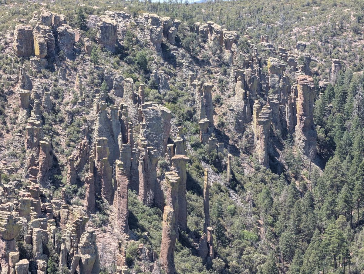
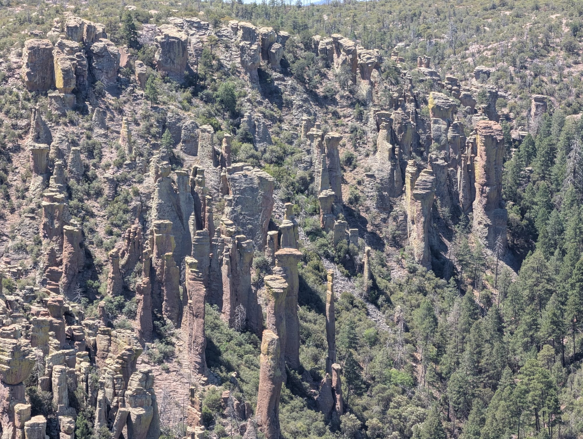
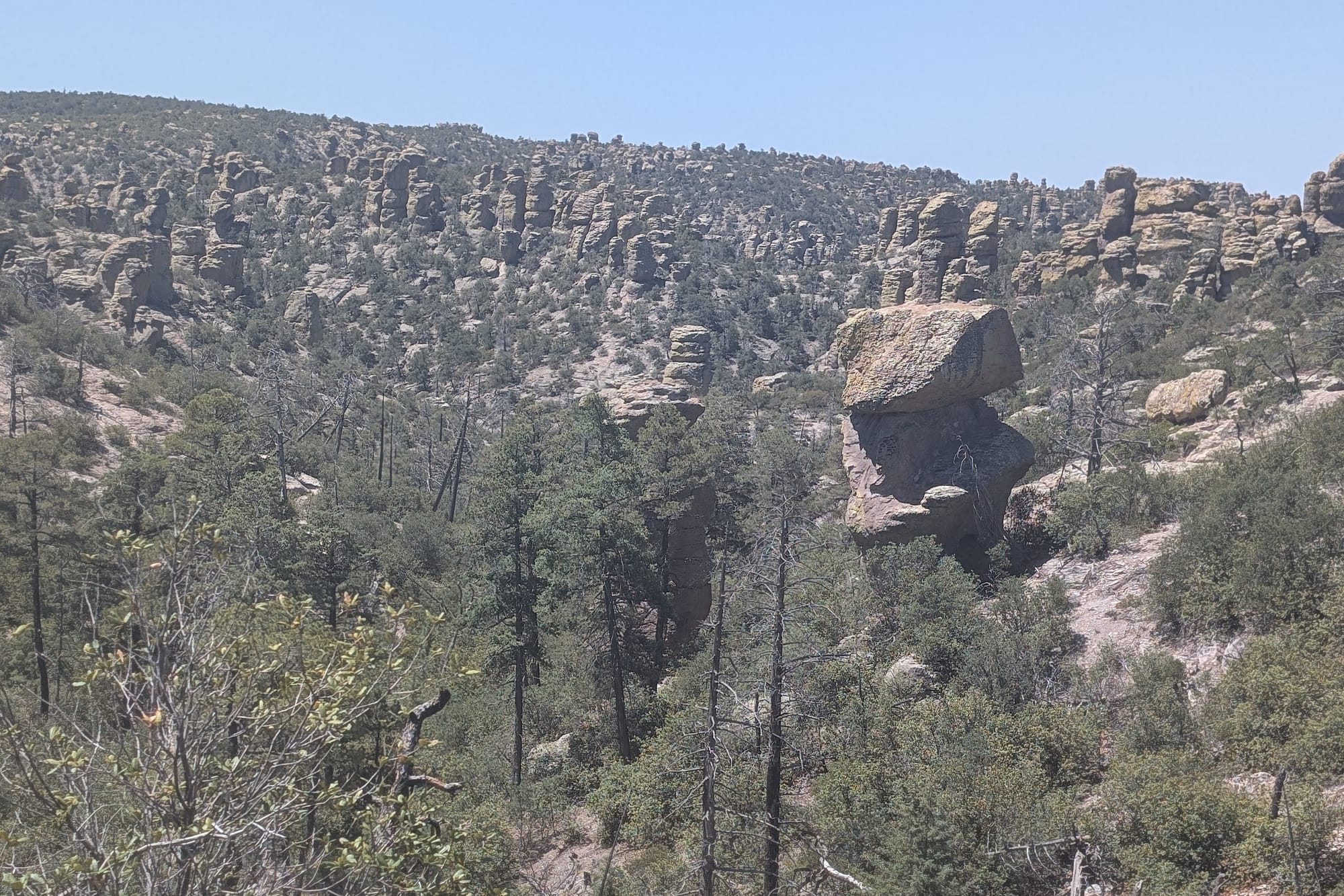
The Chiricahua Apache called this place the "Land of Standing Up Rocks," and the moment you step onto the trails, it is easy to see why. Towering columns, balancing boulders, and deep, shaded canyons cut right through the desert landscape, creating a maze of stone that feels entirely detached from the surrounding valleys. Located in the southeastern corner of the state, Chiricahua National Monument remains one of Arizona’s most spectacular secrets. While the Grand Canyon draws millions of visitors each year, Chiricahua offers something increasingly rare: breathtaking scenery without the crowds.
Born of Ash and Ice
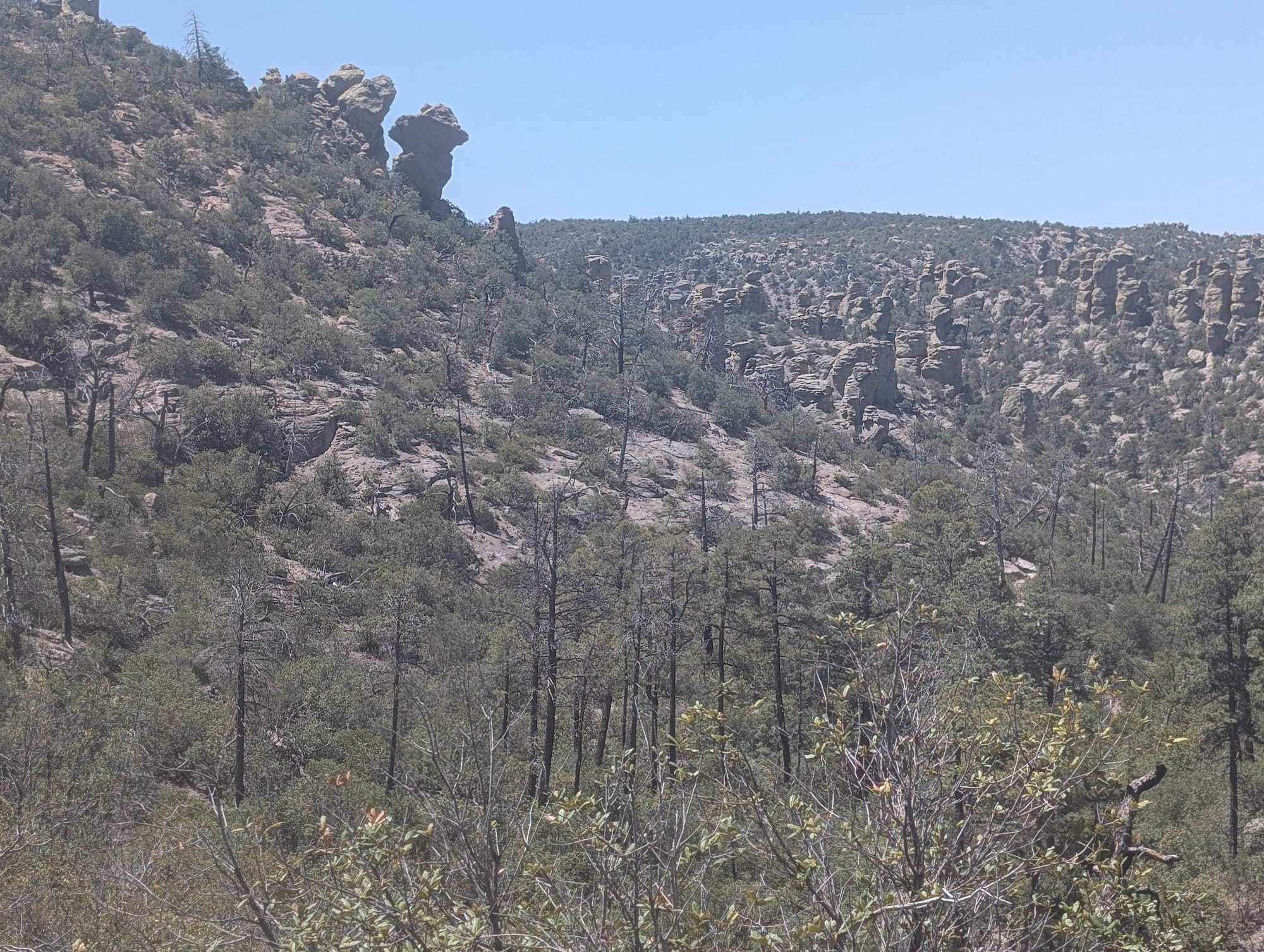
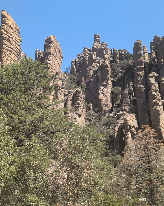
The dramatic spires, known as hoodoos, are the result of a violent volcanic history. Roughly 27 million years ago, a massive volcanic eruption shook what is now southeastern Arizona, blanketing the region in hundreds of feet of white-hot volcanic ash and pumice. As this massive layer cooled, it fused into a thick volcanic rock called rhyolite tuff.
Millions of years of weathering and erosion then sculpted the landscape into the towering pinnacles, columns, and balanced rocks seen today. The rock contracted and cracked. Water seeped into these vertical joints, freezing and expanding over countless cycles. Wind and water erosion finished the job, carving away the weaker sections and leaving behind the thousands of gray, lichen-covered stone columns that stand today.
A Hidden Gem in the Sky Islands
The monument lies within the Chiricahua Mountains, one of Arizona's famous Sky Island ranges. These isolated mountain ranges rise dramatically from surrounding desert grasslands, creating unique habitats that support remarkable biodiversity. Elevations climb from desert foothills to forested mountain slopes, allowing an unusual mix of plants and wildlife to thrive in the area.
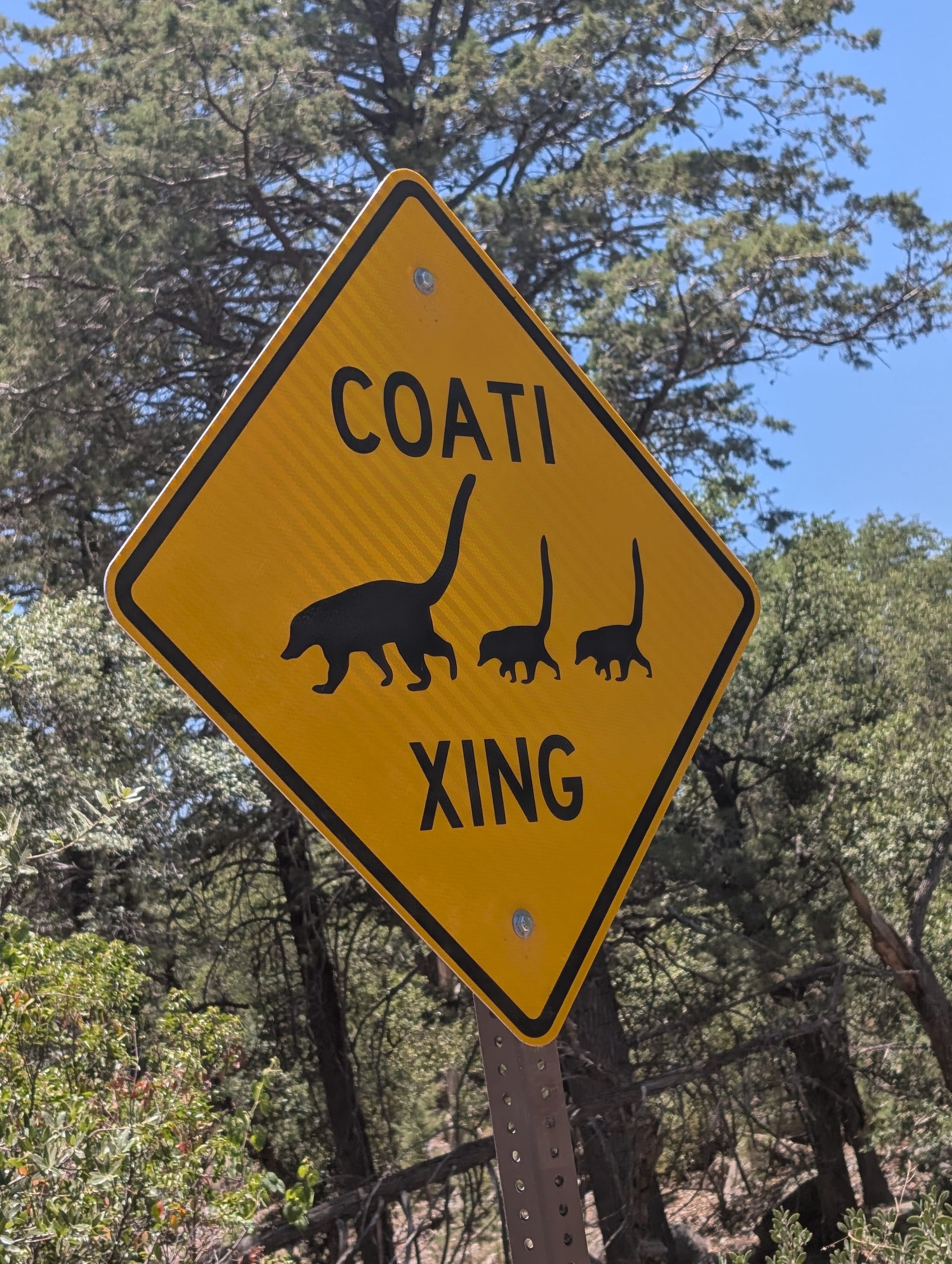
Visitors may encounter deer, coatimundis, skunks, and a variety of bird species while exploring the monument. The surrounding mountains have long been recognized as one of the premier birding destinations in North America.
The combination of dramatic geology, mountain forests, and desert landscapes makes Chiricahua feel distinctly different from many of Arizona's better-known parks.
The Scenic Drive to Massai Point
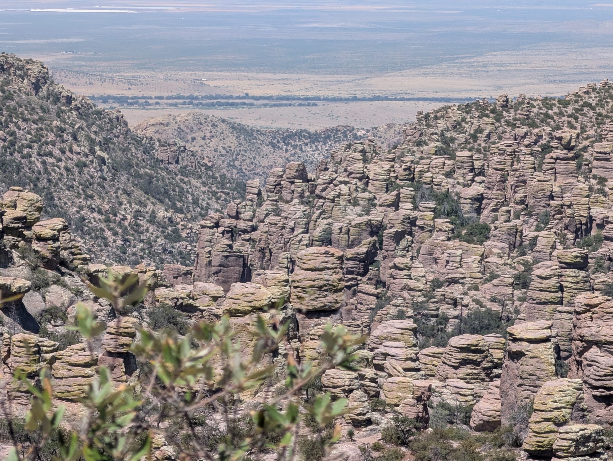
One of the easiest ways to experience the monument is by following the eight-mile scenic road that climbs through Bonita Canyon to Massai Point. Along the route, visitors are treated to increasingly dramatic views of rock pinnacles and canyon formations. Several overlooks provide opportunities to stop and take in the scenery.
Massai Point offers some of the monument's most spectacular vistas. From here, visitors can look across countless stone towers and distant mountain ranges stretching toward the horizon.
Hiking Through the Stone Towers
While the scenic drive provides impressive views, the true magic of Chiricahua is found on its hiking trails.
The Echo Canyon area is among the monument's most popular destinations. Trails wind through narrow passages, hidden grottoes, and clusters of towering rock formations. Around nearly every bend, another unusual formation appears.
For hikers seeking a longer adventure, the Big Loop Trail offers one of the most comprehensive tours of the monument's famous rock landscapes. The route passes through many of the park's signature formations and provides a deeper sense of the scale of Chiricahua National Monument. Visitors frequently describe the experience as unlike any other hike in Arizona.
Even short walks reveal remarkable scenery, making the monument accessible to visitors with a wide range of hiking abilities.
Why Chiricahua Deserves More Attention
Arizona is filled with iconic destinations, yet Chiricahua National Monument often flies under the radar. That relative obscurity is part of its appeal.
Visitors can spend hours exploring trails, overlooks, and scenic drives without encountering the crowds common at many national parks. The silence, the sweeping mountain views, and the strange volcanic rock formations create an atmosphere that feels both peaceful and otherworldly.
For photographers, hikers, history enthusiasts, and anyone looking to experience a different side of Arizona, Chiricahua offers one of the most rewarding adventures in the state.
It may not have the fame of the Grand Canyon, but for many who visit, Arizona's Wonderland of Rocks becomes one of the most memorable places they ever explore. Its reputation has grown so much that federal legislation has been proposed to redesignate the monument as a national park. If approved, Chiricahua would become Arizona's fourth national park, joining Grand Canyon, Petrified Forest, and Saguaro. Whether that designation happens or not, the monument already offers the kind of scenery and experiences that rival many of the nation's most celebrated parks.
Trip Planning Tips
- Getting There: Take I-10 to Willcox, then follow Arizona State Route 181 south straight to the park entrance.
- Beat the Heat: Since the trails range from 5,000 to nearly 7,000 feet in elevation, temperatures are cooler than the desert floor. However, summer afternoons bring intense sun and sudden monsoon thunderstorms. Spring and fall offer the most comfortable hiking conditions.
- Pack It In: There are no gas stations or food vendors inside the park. Fill up your tank in Willcox. On the plus side, Chiricahua is completely free to enter, meaning you can save your wallet for the gas tank. Carry at least two to three liters of water per person if you plan to tackle the longer loops.
- Look Up: Chiricahua is an officially designated International Dark Sky Park. If you secure a spot at the Bonita Creek Campground, stick around after dark to see the Milky Way with almost zero light pollution.
Subscribe to Roam Arizona
Sign up to get new Arizona stories, hidden gems, and updates delivered to your inbox.
You’re officially on the trail.
Peek at your inbox (or the spam gulch) for your first map.